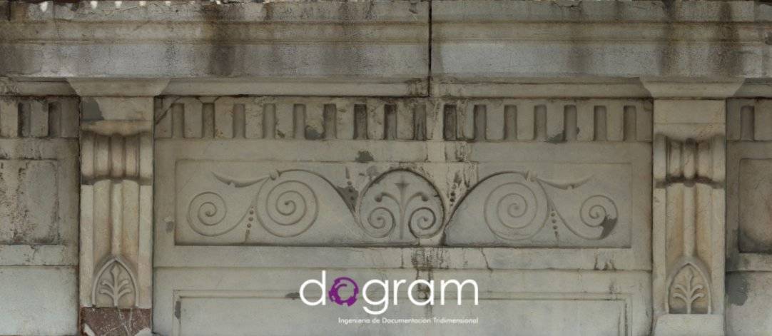
Estado de la fachada en el momento de realizar la documentación
On the 17th July of 2016, Dogram started the documentation work of the façade of the building Uría 58, at the request of the architect Francisco Guisasola Montoto. It is about a building whose original project plans date from 1.888 and it is registered in the Municipal Catalogue of the Council of Oviedo with a level of Partial Protection of Level 1 (P1). The object of the project was to make a photogrammetric survey that allows us to guarantee a technical, reliable and objective documentation of the aspect and the state of the façade. Dogram’s technical department was composed by: Rocío Cachero Crespo, David Cañal Moro and Valentín Arrieta Berdasco. All of them have many years of experience in documenting the current state of buildings and monuments through photogrammetric techniques.
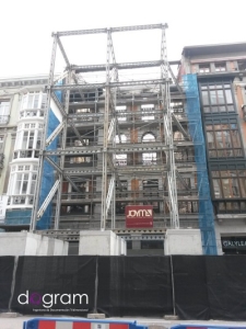
This project supposed a challenge to us due to the current state of the building that suffered a fire the last 7th April of 2016.To the necessity of affording this kind on work as swiftly as possible; we must add the work complexity, with a façade completely covered by scaffolds that hide it in a great part.
When we had valued the available information, we decided to opt for a work methodology that mixes: a topographic survey, registering support points in all the areas which can be seen from the street, a photogrammetric detailed survey with images taken from de scaffolds and measurements of those details that we were not able to photography.
Due to the difficulty of taking photographs from a few metres of distance from the façade, it was necessary to register an amount of 900 high-resolution photographs and 100 points of photogrammetric support, as measurements of the details of the screens and galleries. This fieldwork took place during a whole journey, coordinating the work with the rest of technical teams who were working in the building.
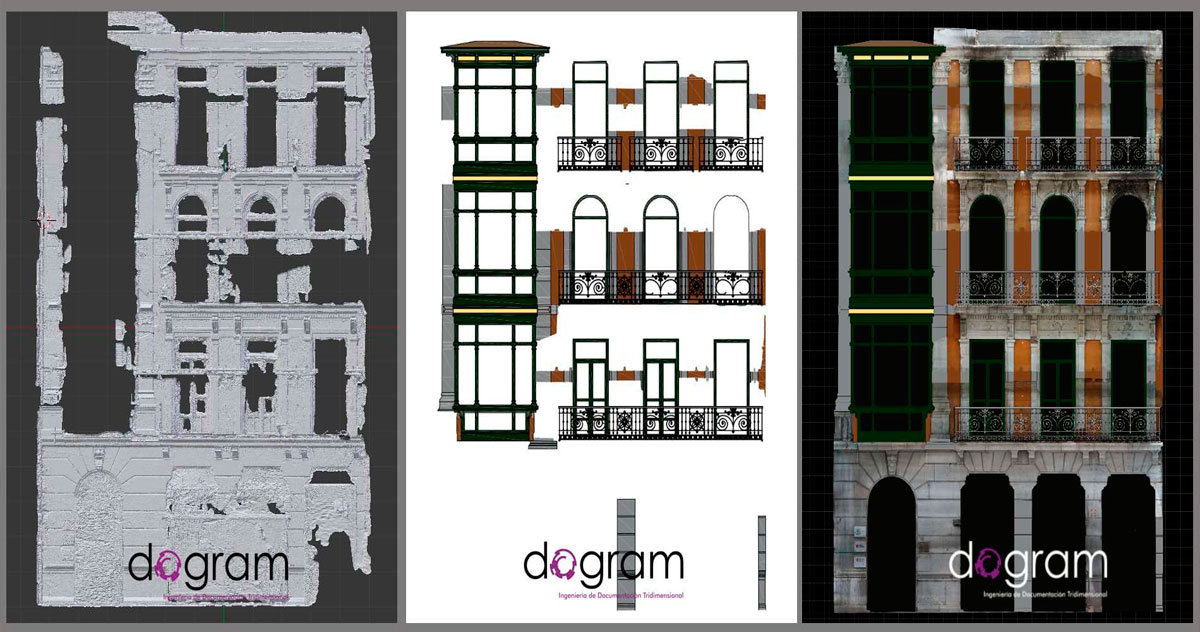
From the acquired data in the field, the work was completed with two office journeys for the process of the photographs, the three-dimensional restitution, scale and the obtainment of a dense and textured three-dimensional model. In this way, it was possible to generate a threedimensional model composed by, more or less, 95 million points, with a mesh of 16 million polygons, of the complete seen sight of the façade. This model has a metrological precision less than a centimetre.
From this three-dimensional model, we create an orthophotograph of the survey, reaching a global vision from its actual state without scaffolds, reaching a detail equivalent to a 1:10 scale and guaranteeing the quality of the measurements anywhere in the façade with a precision less than a centimetre. Those zones, where it was not possible to take photographs because of the proximity of the scaffolds, were represented through delineation.
This work guarantees the necessary fidelity and accuracy to recover the façade and make
easier removing and rebuilding.